
Mt. Morrison is a large triangular peak just South of Mammoth and stands out from the other mountains around it. Brooke and I had wanted to climb it for quite a while, mainly because it looks cool, and looks like it needs to be climbed. We finally decided to make the time to get up there and do the climb.
The climb starts at Convict Lake, and is about 3 miles and 4,650 ft of elevation gain from the lake to the peak. There's not much of a trail, if any, most of the way. At about the 10,000 ft level, there is a use trail that makes its way to the peak. Unfortunately, it wasn't very visible from below, so we missed it and went up a different route. On the way down we followed the use trail and made much better time. It took us 5.5 hours to reach the summit with a few rest stops. This was a bit slower than we anticipated, but we blame that on two wrong turns. We spent 30 minutes on the summit enjoying the view and eating lunch. It only took us 2.5 hours to get back down to the car.
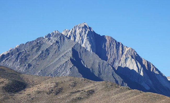
Mt. Morrison and Peak 3321 in front of it (the dark one) from the intersection of Hwy 395 and Convict Lake Rd.

A few dear came to visit while we were getting ready to start hiking.

Looking across Convict Lake at Sevehah Cliff on Laurel Mountain.

Since the past winter was so low on snow, there was no water flowing in the creek. With no trail to follow, we decided it would be easiest to jsut hike up the dry creek. If you look closely, you can see Brooke in there...
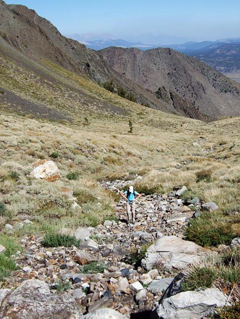
A little farther up, the creek bed got smaller, but the rocks were generally bigger, rounder, and looser. Still better than fighting our way through the bushes.

Eventually, at about 10,000 ft, we found water trickling in the creek for a distance of about 20 ft. I guess that was enough to keep the flowers blooming.

We stopped here to have a snack before heading up the slope in front of us. This was a big field of rocks that had fallend down from above. We headed up to the left of the dark colored rocks.
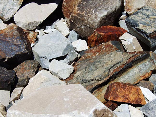
All kinds of diffrent colors in the rocks here...
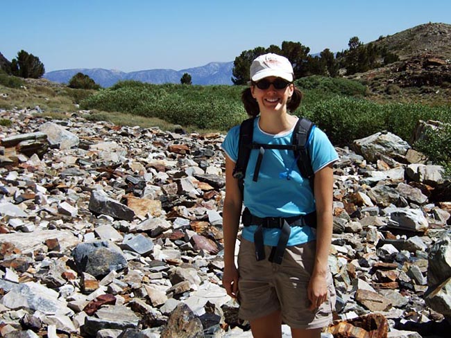
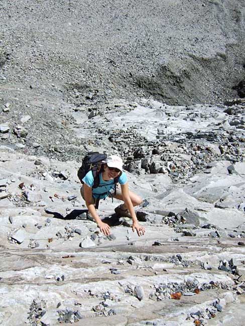
Looks like Brooke is ready to start climbing...

Lots of cool looking striped rocks too...
After working our way a few hundred feet up the loose rocks we got onto the steeper ledges that led us up another 1,000 ft or so till we decided we were probobly on the wrong route. We headed to our right and eventually found the use trail which had come up a different gully.

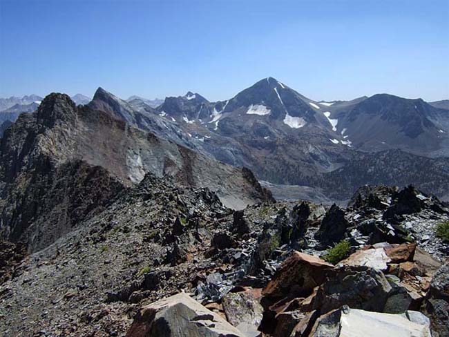
Looking North-East towards Crawley Lake as we continue climbing.
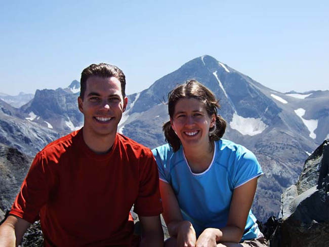
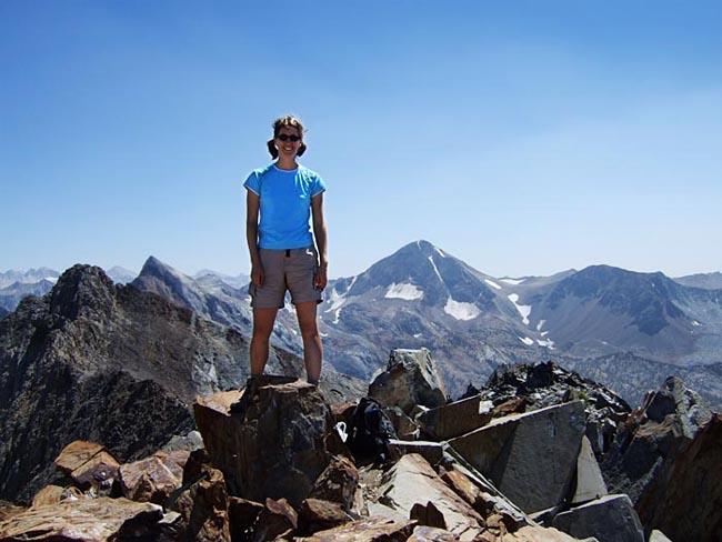
Brooke and I on the summit after 5.5 hours. Took a little longer than we'd hoped, but we blamed it on a couple wrong turns...
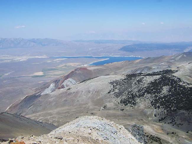
Crawley Lake.

Looking back down at the East end of Convict Lake.

Looking West at Lake Genevieve, Edith Lake, and Cloverleaf Lake (nearest to farthest) and Bloody Mountain on the right.
View to the South.
Brooke getting up on the high point on the summit.

I ventured down the North side a bit to get a better look over the edge.

There were some interesting rock formations on the summit as well...

This was about 1,300 ft below the summit. We followed the use trail down, rather than our assent route. It made for a fast and easy dessent since it was pretty loose. We decided it wouldn't have been fun going up though...
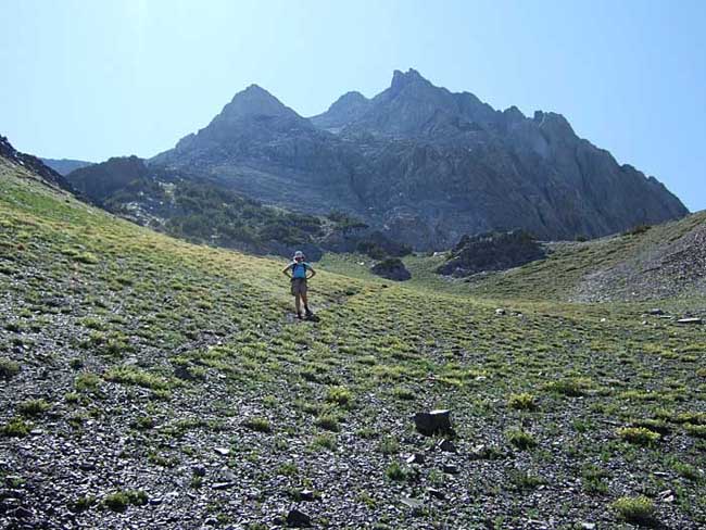
Brooke coming down the trail, with the mountain behind her.